Conditions cleaned up today finally and shore diving was excellent!
I generally avoid long surface swims, preferring to use my scooters underwater to get where I want to go. But there are some sites I want to do from shore that I don’t know how to find underwater yet, and/or a bit too far to do the round trip underwater. That was one of the main reasons for my purchase of the Garmin Descent Mk3i watch: its great mapping and navigation capabilities. It has detailed underwater contour maps around most popular dive areas, allowing me to find pinnacles or pits, which are often interesting habitats.
Today’s exercise was to see how well it works to navigate to a designated point on the surface, in this case the coordinates I have for the St Anthony. I was not 100% sure they were correct either, so I was testing that as well. And both tests were a success! My coordinates were spot on and my watch led me straight to them.
Amusing (or not) side note was that there was a group of free divers already doing some line training by the wreck, so they saw me swim out, drop down, and then disappear and never come up. Well, I swam back to shore underwater as was my plan. When I got home I saw on Facebook that one of the free divers made a post about it and felt it was crazy for me to dive alone. I put their mind at ease and many others chimed in about the fun and freedom of solo diving.
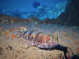
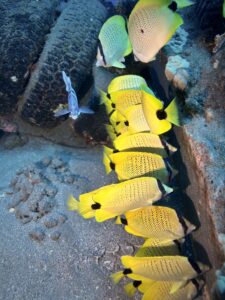
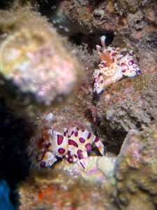
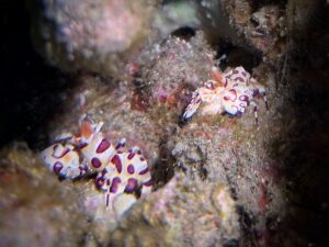
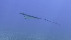
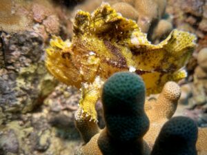
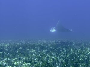
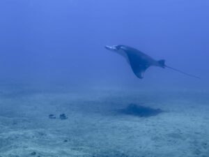
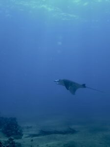
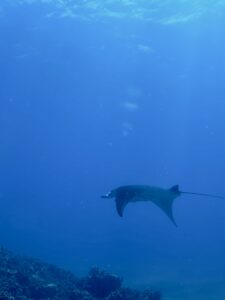
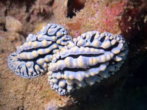
Anyway, here are the pics. It is a “for better or worse” day as I could not get close to get good pictures of the Manta or Eagle rays.

